Concepts involve splitting Tom McCall Waterfront Park in two, constructing temporary housing for homeless people and “re-wilding” a section of Salmon Street.
The narrative is well-established by now: Portland’s downtown is down. Major retailers are leaving and office workers largely haven’t returned to the urban core post-pandemic. And though events and cultural offerings remain a draw, international visitors appear to be staying away in significant numbers.
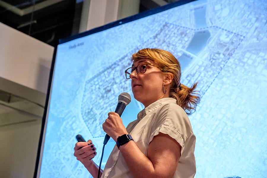
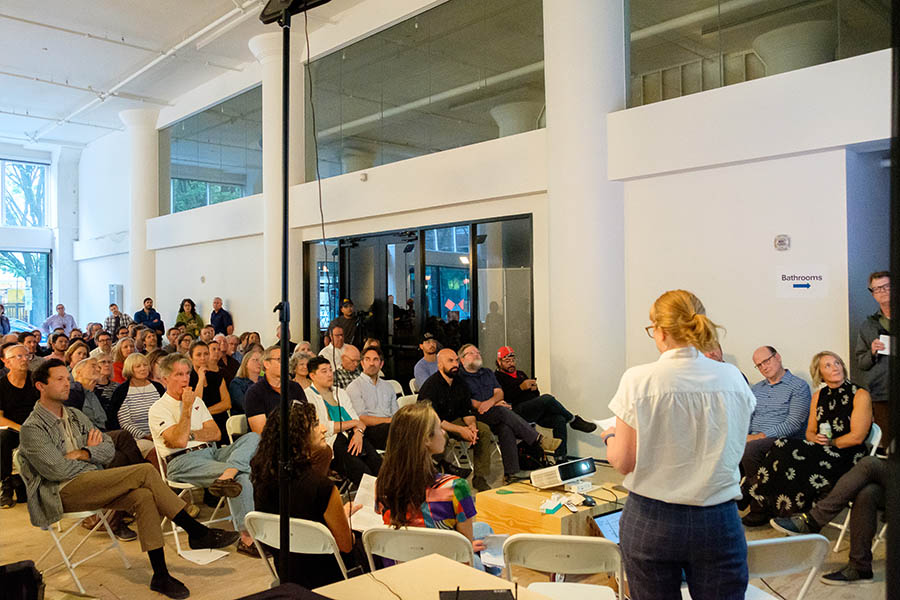
So last week, with this new normal in mind, assembled members of Portland’s architecture and urban design community discussed big-picture reimagination of downtown as a riverside neighborhood. The event was a product of the PDX Design Collaborative, the loose assemblage of organizations behind the “City of Possibility” showcase of architectural models earlier this year. Speakers on Wednesday at the JK Gill Building shared the results of a March event, when teams of participants brainstormed ways to connect downtown to the water. The only rule: there are no bad ideas. Louisville, Seattle and even little-brother Vancouver, Wash. — with its ambitious waterfront project — offered inspiration.
PDX Design Collaborative co-founder Randy Gragg asked the assembled representatives of design, business and government to close their eyes and consider their favorite urban space. Then he asked if anyone was thinking about downtown Portland. No hands went up.
“All right, that’s why we’re here,” Gragg said. “To talk about an existing neighborhood — downtown Portland — that we have not identified and treated as a neighborhood.”
One rough concept involves splitting Tom McCall Waterfront Park into two pieces.
RELATED: 3D Experience: Exhibit Showcases Architectural Models of Portland’s Past, Present and Future
In the early 20th Century, downtown development began to focus inland, rather than on the waterfront. The seawall was built in the 1920s to protect the western side of the Willamette River from annual floods, which further separated people from the water, according to the city’s official history of the park. Two decades later, Harbor Drive was constructed along the western riverbank, which only deepened the disconnect. By the 1960s, traffic was shifting from downtown and former Gov. Tom McCall called for a public plan to tear up the road in favor of open space.
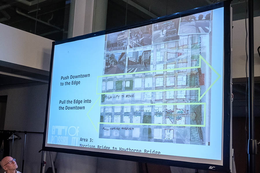
Gragg showed an image from the waterfront’s 1970s master plan by the precursor to ZGF Architects showing patches of commercial development and access points to the water along the waterfront between the Morrison and Hathorne bridges. Influential voices at the city advised in favor of cheaper alternatives, according to Gragg, and what Portland ultimately got was its “most underwhelming amenity:” 36 acres of mostly grass that’s now fenced much of the year due to events.
The waterfront is chiefly two things but it isn’t very good at being either, according to large event producer Christina Fuller. Her Fuller Events has produced events on Portland’s Waterfront for two decades including marquee festivals like the Waterfront Blues, Pride, the Rockstar Energy Open and the Rose Festival — events that collectively have brought millions downtown.
“We’re not married to the way it’s always been,” Fuller said. “Frankly, for a lot of us small businesses and a lot of us in the events community, a lot about the park isn’t delivering both on the infrastructure level and also as a business model. We are desperate and creative at the same time to think about this space differently.”
Fuller detailed technical issues with producing large-scale events at the waterfront, like the lengthy and expensive permitting process and the weeks required to re-grow the park’s fragile turf.
“What’s the simplest solution? Divide it in half,” Fuller said, setting off murmurs in the room.
A map showed a rough outline of the concept, with the park from the Burnside Bridge to the Morrison Bridge serving as a dedicated year-round venue, and the segment from the Morrison Bridge to the Hawthorne Bridge serving as a park. The iconic “bowl” at the park’s southern end past the Hawthorne Bridge — the scenic setting of numerous summer concerts — would split time as both a park and a venue.
Design teams discussed “stitching” the park to downtown blocks. One team incorporated temporary housing for homeless people. Another included a plan to “re-wild” Salmon Street, closing it to vehicle traffic and reintroducing native plants.
Lora Patino Lillard, a capital project manager with the city’s Parks and Recreation department, discussed the official upcoming national competition to redesign the waterfront park. The effort to redevelop the bowl, now in its early stages, recently won a $750,000 grant from the Metro regional government to create a “vibrant, sustainable space that strengthens the connection between the community, visitors and the Willamette River that defines Portland.”
Art Pearce, planning, programs & projects deputy director with the Portland Bureau of Transportation, discussed ways to rethink the city’s streets, which account for 40% of public ownership downtown.
Future events of the PDX Design Collaborative include an Oct. 15 talk by urbanist Carol Colleta about lessons Portland can learn from the revitalized Memphis waterfront. An interactive exhibit about the future of the waterfront is planned for December.
Click here to subscribe to Oregon Business.